 you are not logged in

![]()
![]()
![]()
 NASA's Landsat satellites are helping officials manage water resources and settle conflicts
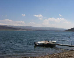
Dean Stevenson has farmed the plains of south-central Idaho most of his forty-seven years. Like all farmers, he worries about things like the price of sugar beets and malt barley or the cost of gasoline, but most of all, he worries about water.
He is right to worry. The 4,000 acres he farms with his father and brother receive on average a scant 10 inches of rain per year. The water that sustains the sugar beets, barley, wheat, and potatoes growing on Stevenson land is pumped from the Snake River Plain aquifer. Every drop is rationed.
Stevenson is part of a water district-the Magic Valley Ground Water-that helps manage water taken from the aquifer.In 2006, another irrigation district on the Snake River Plain, A&B, believed that some of the farms in its district had run short on water, resulting in a poor harvest. Because A&B has senior (older) water rights, Idaho law allowed them to issue a water call, a demand that junior water right holders, including Stevenson, draw less water from the aquifer.
The agency with the unenviable task of sorting out water calls is the Idaho Department of Water Resources. The agency keeps track of how much water is in the state's rivers and ground water to ensure that Idaho has a viable water supply for all of its users-farmers, cities and towns, and natural ecosystems.
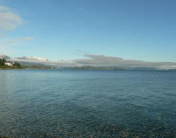
Idaho uses more water than any other U.S. state except California and Texas, the two most populous states. More than 90 percent of the water consumed in Idaho goes to irrigate 3.4 million acres of farmland, providing the economic base for the state. In recent years, some of the department's most detailed information on how much water farmers consume has come not from water meters on the ground, but from innovative space-based estimates of the evaporation of water from soil and plants.
The new method holds enough promise for Western water management-a challenge that population growth and climate change are likely to intensify in coming decades-that it influenced the design of the next satellite in NASA's decades-old Landsat program, now jointly managed by NASA and the United States Geological Survey.
- Introduction
- The Challenge of Measuring Water Use
- Modeling Evapotranspiration
- A Short Cut to Water Use
- Putting METRIC to Use
- Changing Landsat for Future Water Management
--
-
References
- Allen, R.G. (2005). Overall Summary of METRIC and Applications for ET in Water Resources Idaho Department of Water Resources. Accessed December 22, 2009.
- Budge, R. (2009, June 15). Ground water and surface water conjunctive management contentions. The Water Report, 64: 1-13.
- Idaho Department of Water Resources. (2001, August 15). Idaho water rights fact sheet.
- Idaho Department of Water Resources. Mapping Evapotranspiration. Accessed December 22, 2009.
- Rocchio, L. (2009, September 15). Landsat-based water-use mapping method hailed as an important American government innovation. NASA Landsat. Accessed December 22, 2009.
- Rocchio, L. (2007, April 17). Precious resources: Water and Landsat's thermal band.NASA Landsat. Accessed December 22, 2009.
- Shoemaker, J. (2009, September). Landsat: A space age water gauge. NASA Earth Science Multimedia Team. Accessed December 22, 2009.
- United States Census Bureau. (2000). Population, housing units, area, and density (geographies ranked by total population): 2000. American Fact Finder. Accessed December 22, 2009.
- United States Geological Survey. (2005). Estimated use of water in the United States in 2005. Accessed December 22, 2009.
| Contact information | n/a |
|---|---|
| News type | Inbrief |
| File link |
http://earthobservatory.nasa.gov/Features/WaterWatchers/?src=eoa-features |
| Source of information | NASA - Water Watchers |
| Keyword(s) | remote sensing, Landsat, MODIS, evapotranspiration, water use |
| Subject(s) | AGRICULTURE , HYDRAULICS - HYDROLOGY , INFORMATION - COMPUTER SCIENCES , MEASUREMENTS AND INSTRUMENTATION , METHTODOLOGY - STATISTICS - DECISION AID , NATURAL MEDIUM , POLICY-WATER POLICY AND WATER MANAGEMENT , PREVENTION AND NUISANCES POLLUTION , RISKS AND CLIMATOLOGY , TOOL TERMS , WATER DEMAND |
| Relation | http://earthobservatory.nasa.gov/Features/WaterWatchers/page3.php |
| Geographical coverage | International |
| News date | 27/01/2010 |
| Working language(s) | ENGLISH |
